
Did you know that Northern Colorado has a regional active transportation plan?
In fact, it is in the process of being updated it for the third time. The initial Regional Bicycle Plan was developed in 2013 and that was then revised as the Non-Motorized Plan in 2016.
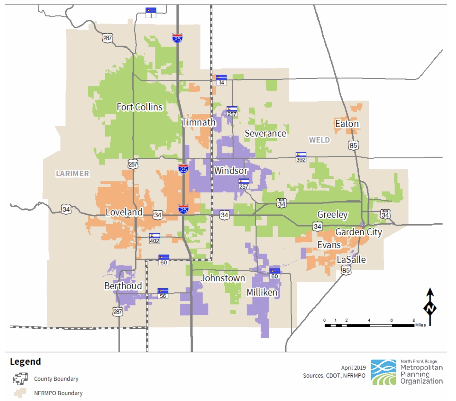
The Non-Motorized Plan is being updated by the North Front Range Metropolitan Planning Organization (“NFRMPO”). The newly revised plan will be referred to as the Regional Active Transportation Plan (ATP). The NFRMPO and its Planning Council are responsible for administering the region’s federally mandated transportation planning processes, and own the development of the Regional Transportation Plan, in which the Non-Motorized Plan is currently embedded. The NFRMPO’s Planning Council is made up of representatives from the 15 member governments within the organization’s boundaries (see map below).
Bike Fort Collins is proud to serve on the NFRMPO’s Regional Active Transportation Plan Steering Committee for this update, in addition to its membership on the NFRMPO’s Northern Colorado (NoCo) Bike & Pedestrian Collaborative, a subgroup of bicycle and walking-minded people and organizations who meet regularly and discuss active transportation-related topics specific to the northern Colorado region.

The vision of the NoCo Bike & Ped Collaborative is to ensure a safe, convenient, and cost-effective bicycle and pedestrian network for all, with a mission to advance connectivity of bicycle and pedestrian networks in Northern Colorado for recreation, transportation and economic development through coordination, promotion, and education (More on the NoCo Bike & Ped Collaborative).
The 2013 Regional Bicycle Plan identified and introduced 12 regional bicycle corridors designed to connect the region/NFRMPO member communities via walking and biking, along with tools to support local bicycle planning initiatives and guidance for pursuing funding opportunities. In 2016 the plan was updated with progress since 2013, as well as was expanded to include walking as a transportation mode. This is a map of the 12 corridors, where the solid line represents completed trail and the dotted line indicates desired/prospective future trail additions.
![]()
As mentioned, this regional plan is being updated as the Regional Active Transportation Plan, to serve as a guide for active transportation planning going forward—and will be updated to include other known active modes besides bicycling and walking (e.g. scooters, etc.). The project is in the public input/outreach phase and is seeking community input.
Click the button below to visit a dedicated webpage where you can note any opportunities or improvements you feel are needed within the region to make it a more friendly and safer place to bike and walk.
Comments may be submitted through December 31, 2020.
Ask yourself questions like the following and leave your comments via the button accordingly:
- What critical bicycle/walking connections are missing?
- What bicycle/walking infrastructure is missing?
- What infrastructure is in disrepair?
- Are there any areas where you feel especially unsafe when bicycling or walking?